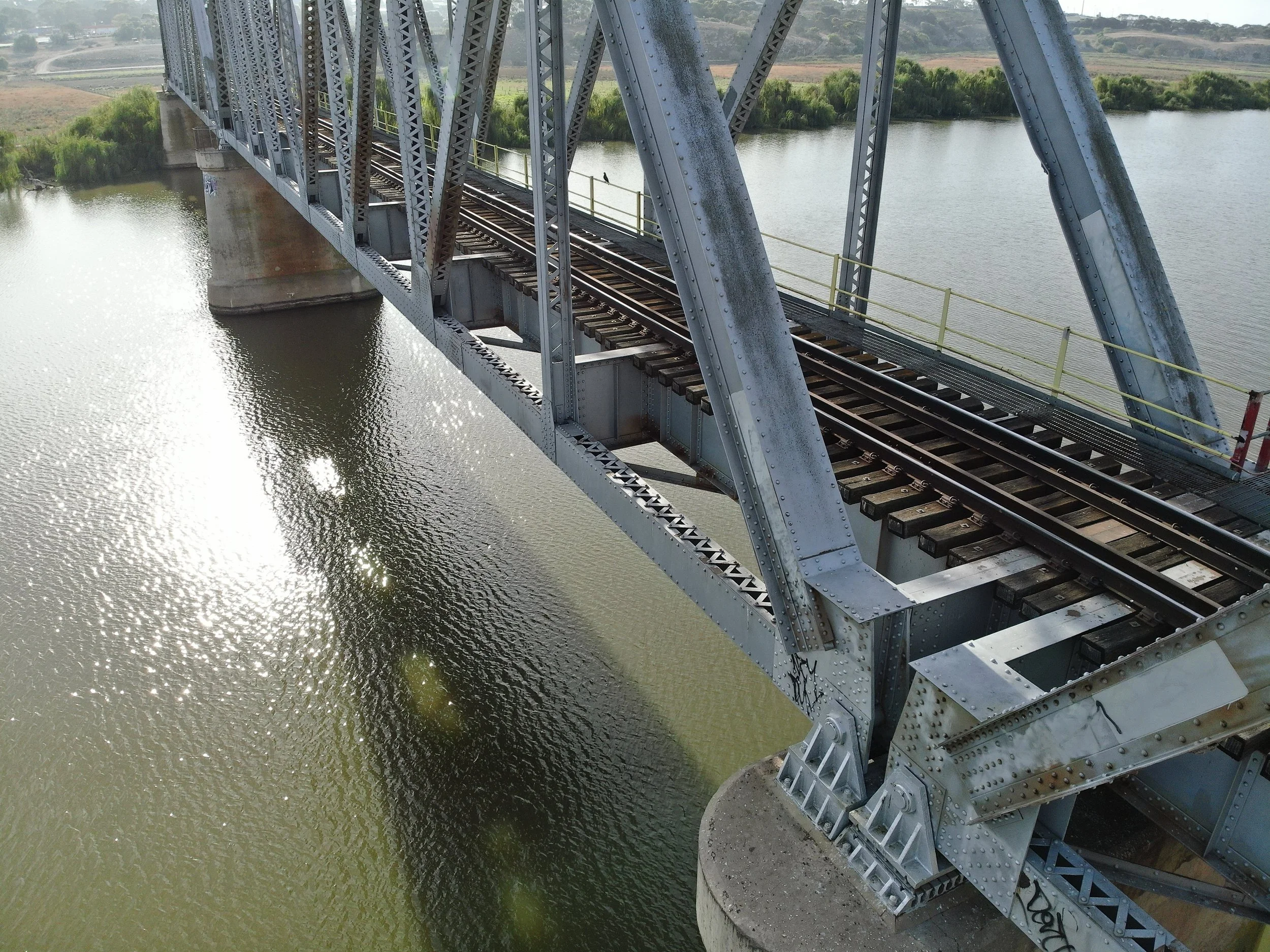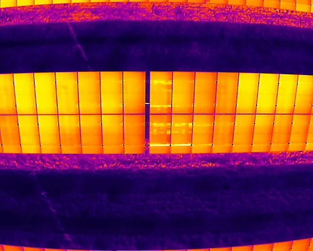
Aerial Mapping
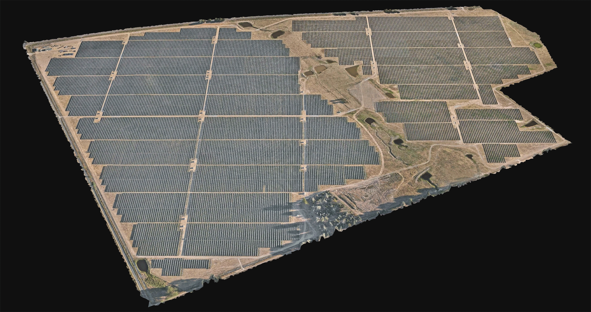
Orthomosaic Mapping
Topological Survey
Construction Monitoring
Professional aerial mapping solutions for accurate maps and models using high-resolution drone technology.
Azure employs high-resolution camera sensors and photogrammetry software to deliver detailed, accurate, and reliable maps and models for survey projects. We can rapidly map large areas and easily access difficult terrain to provide efficient orthographic, topological, volumetric, and environmental datasets.
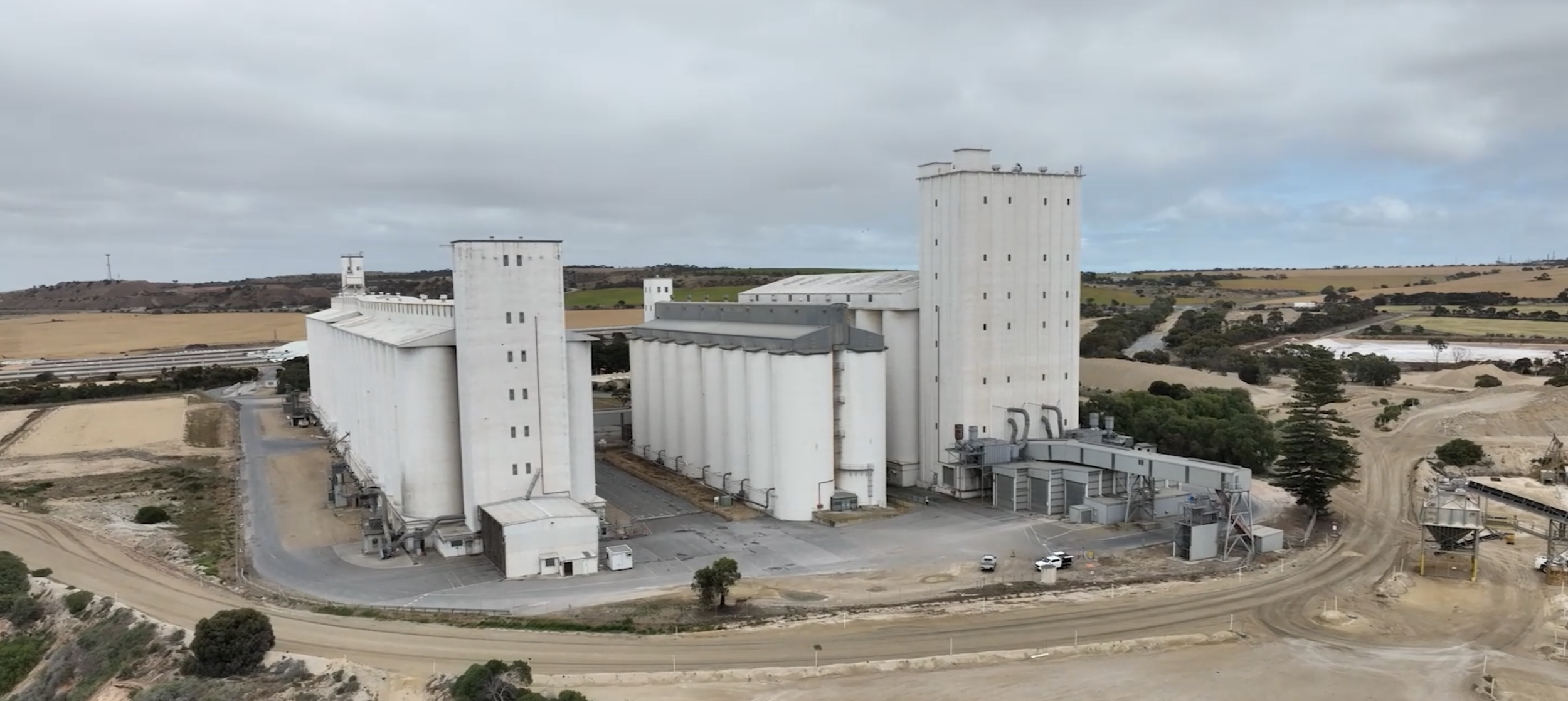
Case Study
Aerial Mapping
Silo Orthomosaics
Aerial Mapping and Survey
Azure are experts in aerial mapping utilising our GPS-enabled drones, and high-resolution photography payloads.
The use of drones for orthographic mapping provides fast, high resolution, precise, and cost-effective maps of any area, from simple open fields to rugged inaccessible terrains.
Drone mapping datasets allow for processing into various deliverables from orthomosaics, to topographical surveys and volumetric assessments.
Construction Monitoring
Our experienced team generate construction maps on a routine basis for change monitoring of construction projects.
Aerial progress maps provide objective visual information that allows project owners to visually monitor construction status, review progress claims, compare build progress to previous weeks and months, and easily share updates with stakeholders.
Project Examples


