Reality Capture
Photogrammetry
Spatial Data Platform
Professional reality capture and photogrammetry services for asset management.
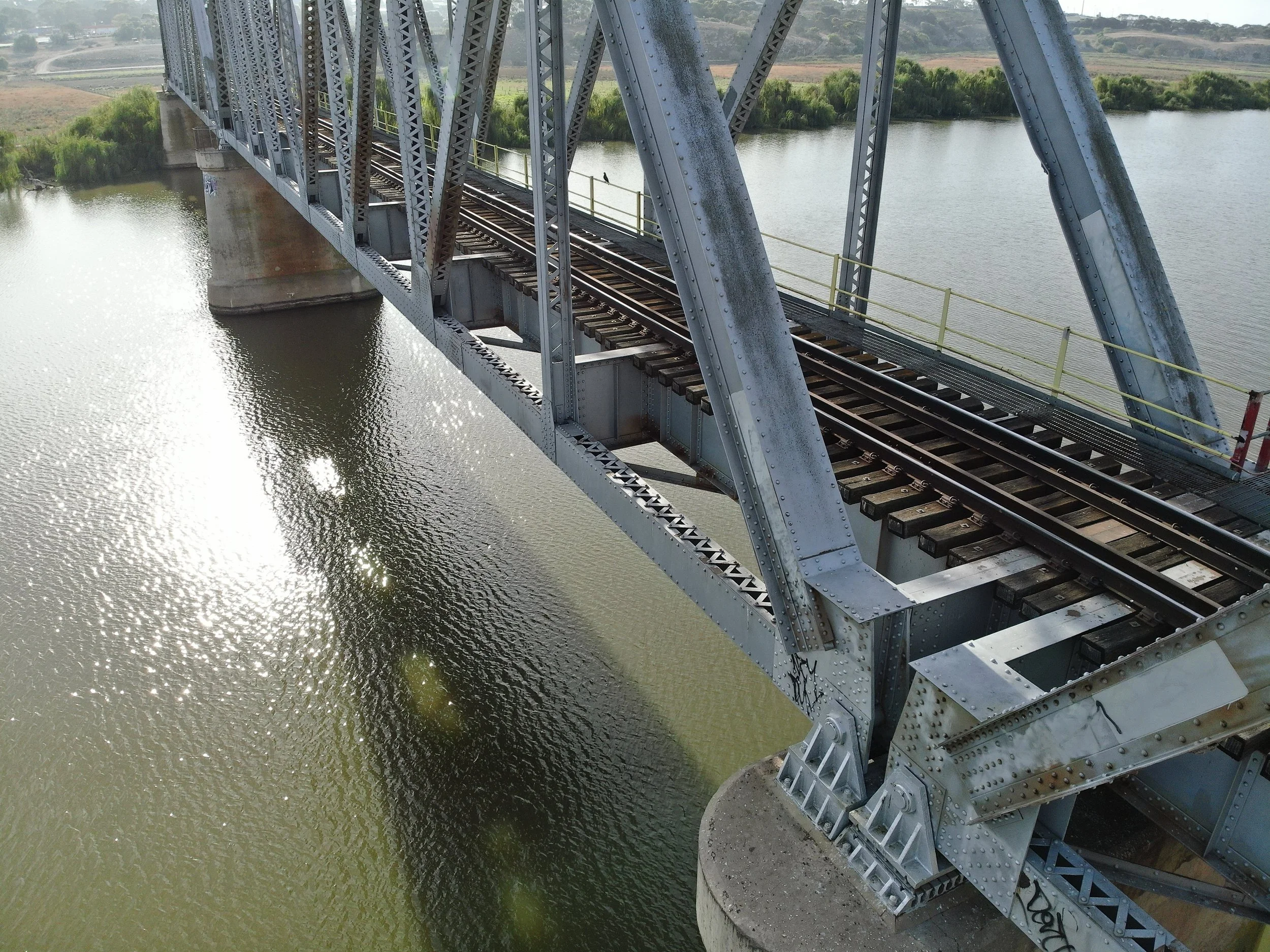
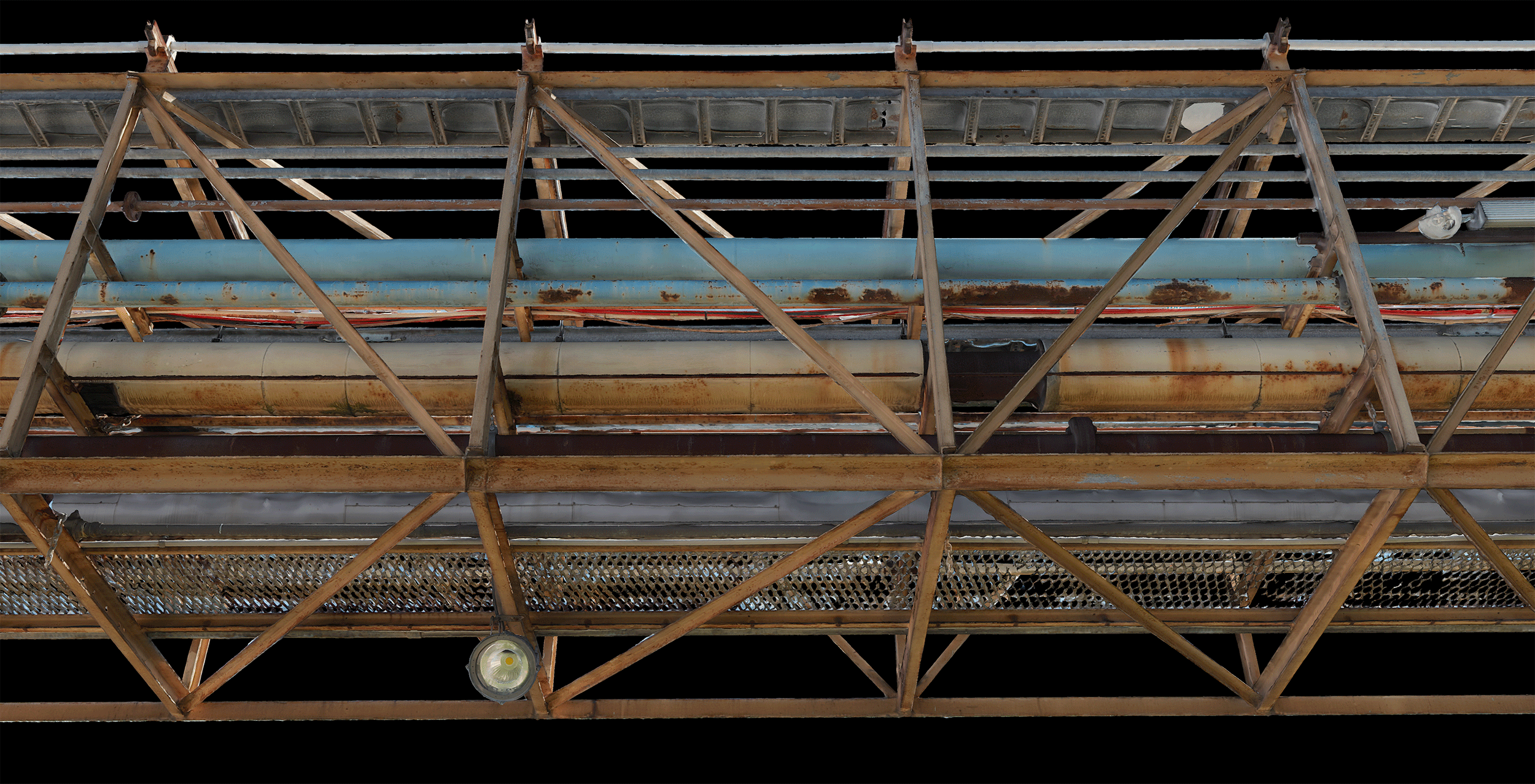
Azure’s industry leading photogrammetric modelling capabilities provide asset owners, asset managers, and their stakeholders with highly detailed and geolocated reality capture models for remote asset visualisation, inspection, condition change assessment, site walkarounds, and communication of site information to off-site staff and contractors.
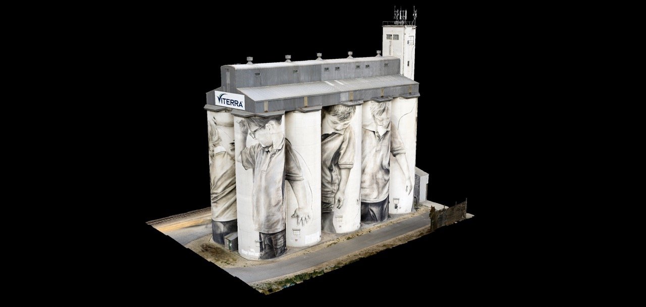
Case Study
Reality Capture
Grain Silo Facility
Reality Capture and Photogrammetry
Azure specialises in 3D asset digitisation using cutting-edge drone and survey technologies and photogrammetric reality capture.
High-resolution, precise, and spatially accurate reality capture models allow asset owners, operators, and contractors to remotely visualise, interpret, inspect, measure, and mark-up their assets from anywhere, facilitating evidence-based decision-making, confident change assessment, and improved communication across stakeholders.
Azures specialists provide comprehensive photogrammetric reality capture services from planning to processing, and guarantee high-value, actionable data outcomes for our clients.
Cloud Spatial Data Platform
Manage your asset using our intuitive, collaborative, and secure cloud-based spatial data management software. Leverage the full potential of your asset information by removing data silos and allowing all stakeholders to access a consolidated view of visual asset information, including reality models, point clouds, BIM models, orthomosaic maps, panospheres, and images.
Project Examples


