Our Capabilities
Improve safety, save time and money, and improve data quality during inspections of hard-to-reach assets.
Azure’s diverse drone data capture capabilities are trusted by major energy, mining, oil and gas, and infrastructure clients across Australia, and include asset inspection, 3D reality capture, asset digitisation, 3D laser scanning, aerial survey, and environmental monitoring.
Asset Inspection
Improve safety, save time and money, and improve data quality during inspections of hard-to-reach assets.
Our capabilities include:
+ Close and General Visual Inspection
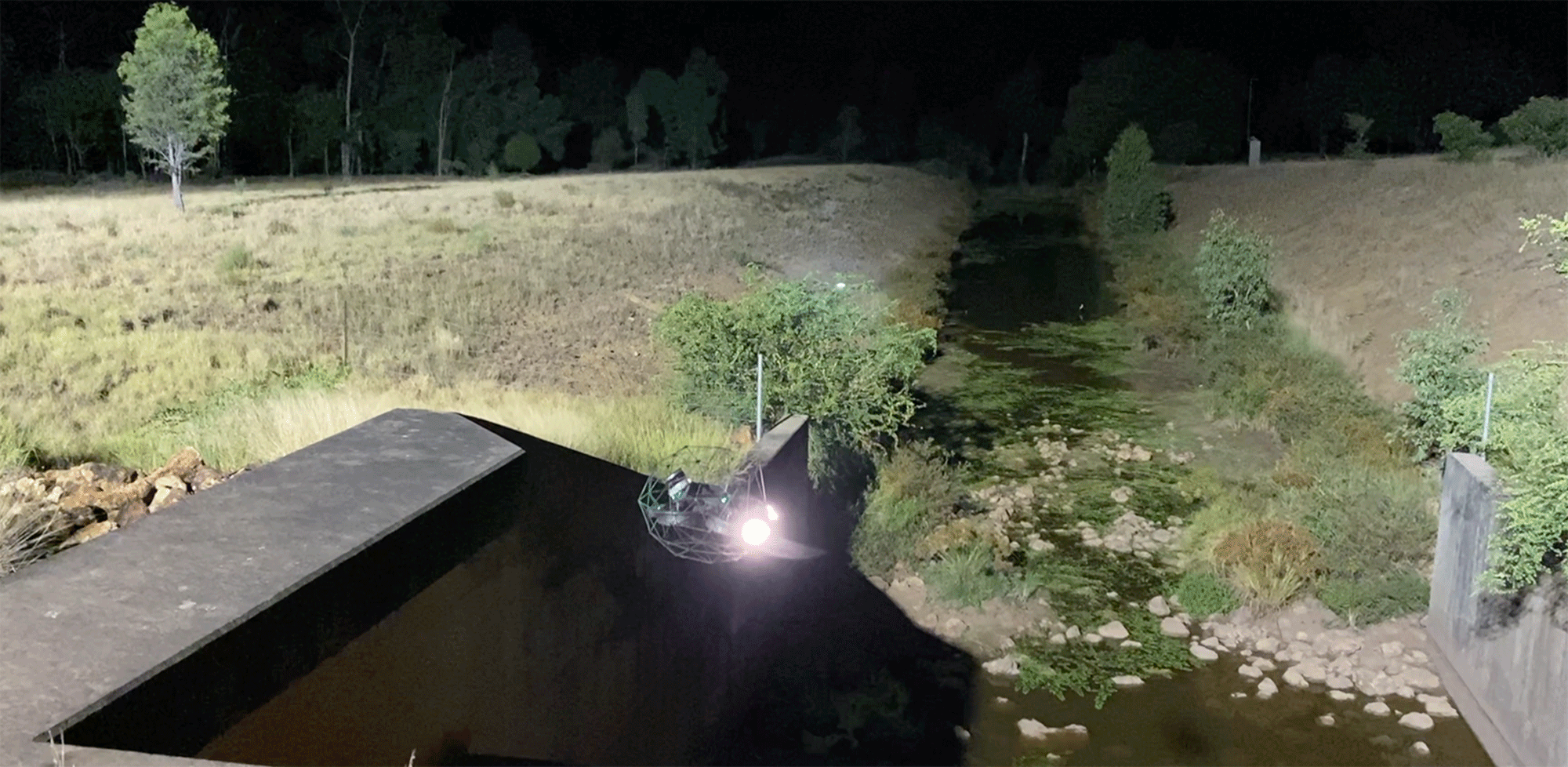
+ Internal and Confined Inspection
+ Thermal Inspection
Reality Capture and Asset Digitisation
Professional reality capture, 3D digitisation, and photogrammetry services for asset management.
Our capabilities include:
+ Reality Capture and Photogrammetry
+ Cloud Spatial Data Platforms
Aerial Mapping
Professional aerial mapping solutions for accurate maps and models using high-resolution drone technology.
Our capabilities include:
+ Orthomosaic Mapping
+ Digital Elevation and Contour Models
+ Construction Progress Monitoring
3D Laser Scanning
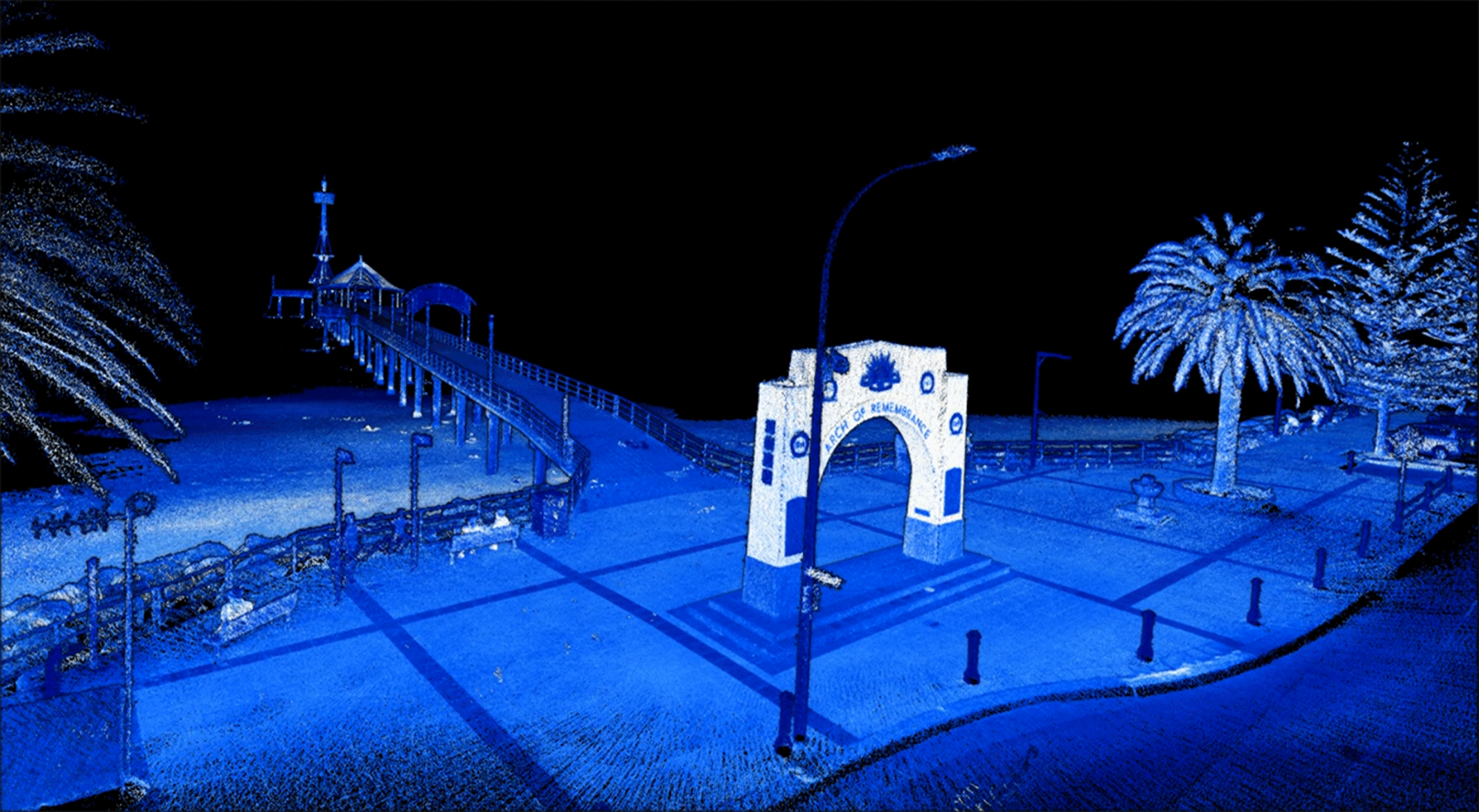
Professional aerial drone 3D laser scanning services using high-resolution LiDAR sensor technologies.
Our capabilities include:
+ Aerial Laser Scanning
+ Terrestrial Laser Scanning
+ Internal Laser Scanning

Case Study
Internal Inspection
Remote Confined Space Entry


